Lord Nelson pub
Introduction
The photograph on this page of Lord Nelson pub by Chris Lordan as part of the Geograph project.
The Geograph project started in 2005 with the aim of publishing, organising and preserving representative images for every square kilometre of Great Britain, Ireland and the Isle of Man.

There are currently over 7.5m images from over 14,400 individuals and you can help contribute to the project by visiting https://www.geograph.org.uk
Lord Nelson pub
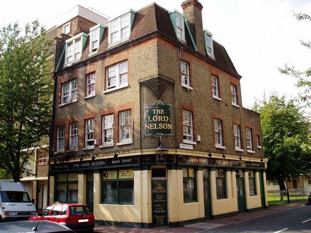
Image: © Chris Lordan Taken: 29 Aug 2007
At 66 / 68 Canon Beck Road (left) junction with Albion Street (right), Rotherhithe, SE16. Built about 1838 - current (2009). Other than having the Ainsty Estate attached to it about 1950, it has changed little externally.
Images are licensed for reuse under creativecommons.org/licenses/by-sa/2.0
Image Location
Latitude
51.498207
Longitude
-0.04935