Sible Hedingham: Village sign
Introduction
The photograph on this page of Sible Hedingham: Village sign by Nigel Cox as part of the Geograph project.
The Geograph project started in 2005 with the aim of publishing, organising and preserving representative images for every square kilometre of Great Britain, Ireland and the Isle of Man.

There are currently over 7.5m images from over 14,400 individuals and you can help contribute to the project by visiting https://www.geograph.org.uk
Sible Hedingham: Village sign
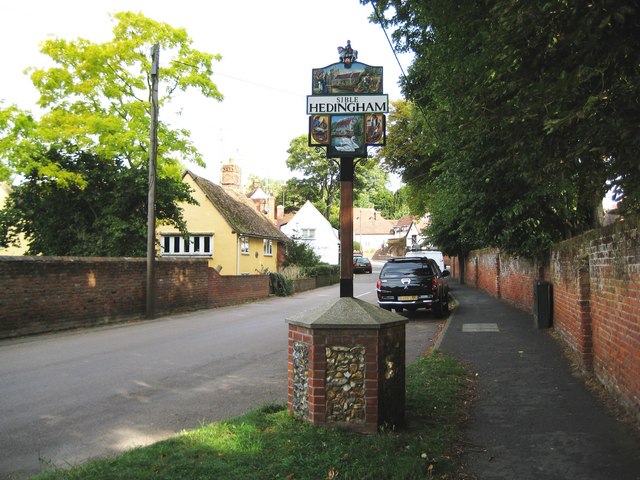
Image: © Nigel Cox Taken: 24 Aug 2009
This sign is on the east side of Church Street in the centre of the old part of Sible Hedingham. Today Sible Hedingham is one big village encompassing all the houses along and around the A1017 Swan Street, but in Victorian times Sible Hedingham and Swan Street were quite separate communities.
Images are licensed for reuse under creativecommons.org/licenses/by-sa/2.0
Image Location
Latitude
51.977859
Longitude
0.585338