Hattersley Road West
Introduction
The photograph on this page of Hattersley Road West by Stephen Burton as part of the Geograph project.
The Geograph project started in 2005 with the aim of publishing, organising and preserving representative images for every square kilometre of Great Britain, Ireland and the Isle of Man.

There are currently over 7.5m images from over 14,400 individuals and you can help contribute to the project by visiting https://www.geograph.org.uk
Hattersley Road West
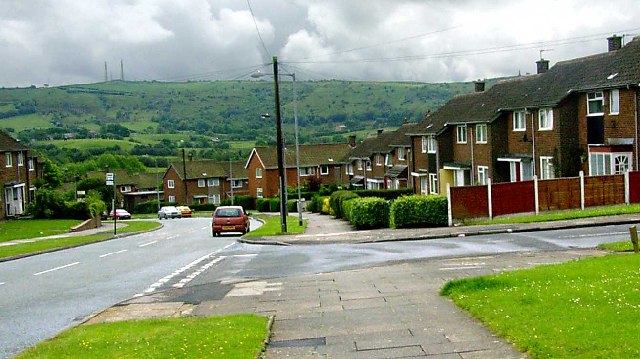
Image: © Stephen Burton Taken: 2 Jun 2005
Built as a Manchester overspill in the 1960s Hattersley is one of the best communities in the north west
Images are licensed for reuse under creativecommons.org/licenses/by-sa/2.0
Image Location


Leaflet Map data © OpenStreetMap
Latitude
53.448516
Longitude
-2.041819