Lauderdale Road
Introduction
The photograph on this page of Lauderdale Road by Martin Addison as part of the Geograph project.
The Geograph project started in 2005 with the aim of publishing, organising and preserving representative images for every square kilometre of Great Britain, Ireland and the Isle of Man.

There are currently over 7.5m images from over 14,400 individuals and you can help contribute to the project by visiting https://www.geograph.org.uk
Lauderdale Road
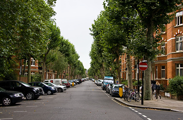
Image: © Martin Addison Taken: 25 Aug 2009
A wide straight road in the Maida Vale area bounded by apartment blocks and Plane trees. The road sees relatively light use and demonstrates one of the solutions to parking issues employed in the area, with bays set almost at right angles to the kerb, reducing the width of the road slightly. An alternative method employed on even wider roads (such as the adjacent Sutherland Avenue) is to create a central reservation of parking bays, effectively turning the road into a dual carriageway!
Images are licensed for reuse under creativecommons.org/licenses/by-sa/2.0
Image Location
Latitude
51.527646
Longitude
-0.185915