Lane near Brinning
Introduction
The photograph on this page of Lane near Brinning by Derek Harper as part of the Geograph project.
The Geograph project started in 2005 with the aim of publishing, organising and preserving representative images for every square kilometre of Great Britain, Ireland and the Isle of Man.

There are currently over 7.5m images from over 14,400 individuals and you can help contribute to the project by visiting https://www.geograph.org.uk
Lane near Brinning
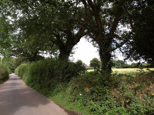
Image: © Derek Harper Taken: 27 Aug 2009
Further west along Image, where it has opened out with fewer trees. This is taken from the junction with the lane past Brinning into Moretonhampstead.
Images are licensed for reuse under creativecommons.org/licenses/by-sa/2.0
Image Location
Latitude
50.647486
Longitude
-3.76742