Bennerley Road
Introduction
The photograph on this page of Bennerley Road by Alan Murray-Rust as part of the Geograph project.
The Geograph project started in 2005 with the aim of publishing, organising and preserving representative images for every square kilometre of Great Britain, Ireland and the Isle of Man.

There are currently over 7.5m images from over 14,400 individuals and you can help contribute to the project by visiting https://www.geograph.org.uk
Bennerley Road
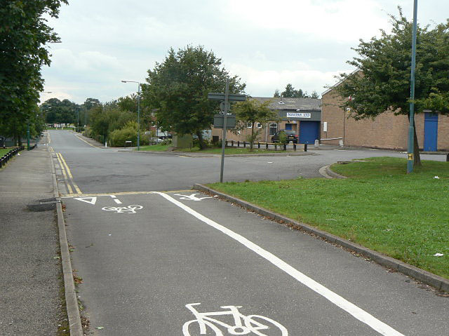
Image: © Alan Murray-Rust Taken: 27 Aug 2009
Part of the Blenheim Industrial Estate, developed on the site of former quarries. The cycle and pedestrian link in the foreground connects with Blenheim Lane.
Images are licensed for reuse under creativecommons.org/licenses/by-sa/2.0
Image Location
Latitude
53.007803
Longitude
-1.212474