Acle Gardens
Introduction
The photograph on this page of Acle Gardens by Alan Murray-Rust as part of the Geograph project.
The Geograph project started in 2005 with the aim of publishing, organising and preserving representative images for every square kilometre of Great Britain, Ireland and the Isle of Man.

There are currently over 7.5m images from over 14,400 individuals and you can help contribute to the project by visiting https://www.geograph.org.uk
Acle Gardens
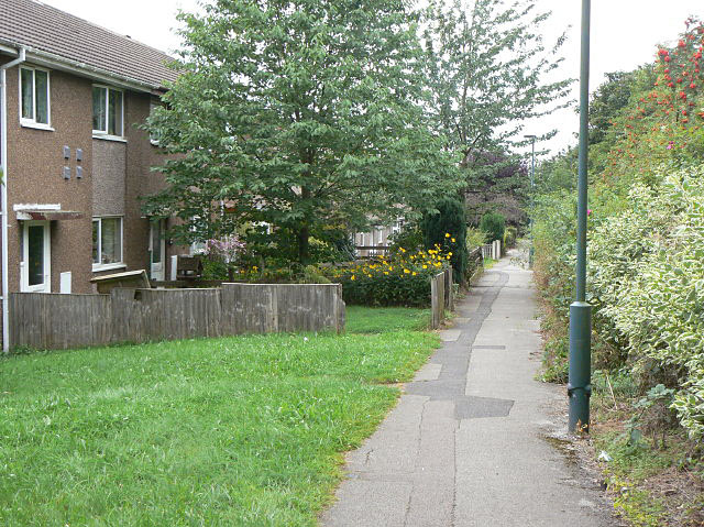
Image: © Alan Murray-Rust Taken: 27 Aug 2009
1960s council development in Bulwell. The hedge to the right hides the houses from the busy A6002, Camberley Road.
Images are licensed for reuse under creativecommons.org/licenses/by-sa/2.0
Image Location
Latitude
53.008719
Longitude
-1.201577