Sandhurst Road
Introduction
The photograph on this page of Sandhurst Road by Alan Murray-Rust as part of the Geograph project.
The Geograph project started in 2005 with the aim of publishing, organising and preserving representative images for every square kilometre of Great Britain, Ireland and the Isle of Man.

There are currently over 7.5m images from over 14,400 individuals and you can help contribute to the project by visiting https://www.geograph.org.uk
Sandhurst Road
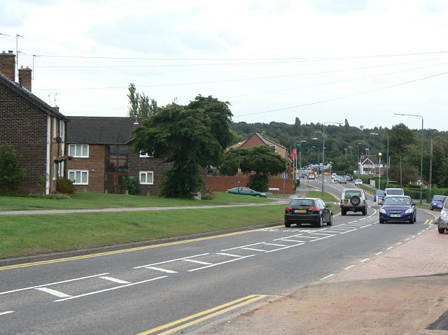
Image: © Alan Murray-Rust Taken: 27 Aug 2009
Developed fundamentally as a relatively quiet residential road, in the 1980s it became part of the Nottingham western orbital road, with levels of traffic to match.
Images are licensed for reuse under creativecommons.org/licenses/by-sa/2.0
Image Location
Latitude
53.008856
Longitude
-1.195166