Trent Valley Way
Introduction
The photograph on this page of Trent Valley Way by Richard Croft as part of the Geograph project.
The Geograph project started in 2005 with the aim of publishing, organising and preserving representative images for every square kilometre of Great Britain, Ireland and the Isle of Man.

There are currently over 7.5m images from over 14,400 individuals and you can help contribute to the project by visiting https://www.geograph.org.uk
Trent Valley Way
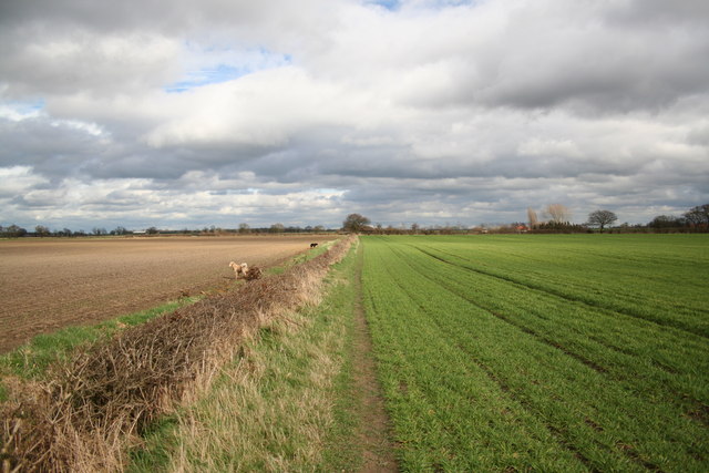
Image: © Richard Croft Taken: 2 Apr 2006
Part of the Trent Valley Way long-distance footpath, looking east towards Moor Lane and Holly House Farm
Images are licensed for reuse under creativecommons.org/licenses/by-sa/2.0
Image Location
Latitude
53.173738
Longitude
-0.749233