Alice Shepherd House, Manchester Road, E14
Introduction
The photograph on this page of Alice Shepherd House, Manchester Road, E14 by Danny P Robinson as part of the Geograph project.
The Geograph project started in 2005 with the aim of publishing, organising and preserving representative images for every square kilometre of Great Britain, Ireland and the Isle of Man.

There are currently over 7.5m images from over 14,400 individuals and you can help contribute to the project by visiting https://www.geograph.org.uk
Alice Shepherd House, Manchester Road, E14
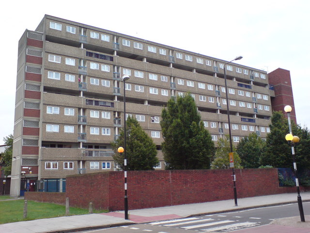
Image: © Danny P Robinson Taken: 27 Aug 2009
Alice Shepherd had been a long standing local councillor in the area.
Images are licensed for reuse under creativecommons.org/licenses/by-sa/2.0
Image Location
Latitude
51.498428
Longitude
-0.009