Cricket, Totteridge Village
Introduction
The photograph on this page of Cricket, Totteridge Village by Martin Addison as part of the Geograph project.
The Geograph project started in 2005 with the aim of publishing, organising and preserving representative images for every square kilometre of Great Britain, Ireland and the Isle of Man.

There are currently over 7.5m images from over 14,400 individuals and you can help contribute to the project by visiting https://www.geograph.org.uk
Cricket, Totteridge Village
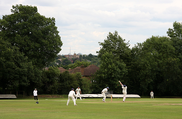
Image: © Martin Addison Taken: 18 Jul 2009
The batsman hooks at a bouncer. The cricket ground is sited on the side of the Dollis Valley and has a pronounced slope towards the southeast corner - definitely not a level playing field! In the distance the mast of Alexandra Palace can be seen.
Images are licensed for reuse under creativecommons.org/licenses/by-sa/2.0
Image Location
Latitude
51.62696
Longitude
-0.193659