Ditchling Common Country Park
Introduction
The photograph on this page of Ditchling Common Country Park by Simon Carey as part of the Geograph project.
The Geograph project started in 2005 with the aim of publishing, organising and preserving representative images for every square kilometre of Great Britain, Ireland and the Isle of Man.

There are currently over 7.5m images from over 14,400 individuals and you can help contribute to the project by visiting https://www.geograph.org.uk
Ditchling Common Country Park
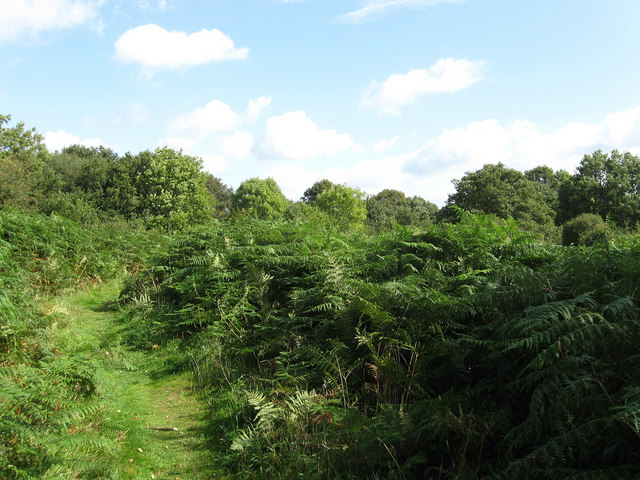
Image: © Simon Carey Taken: 28 Aug 2009
Bracken predominates in this part near the houses called Acorns and Rainlea. The park was created from the bulk of the former common in 1975 by East Sussex County Council who still own it today.
Images are licensed for reuse under creativecommons.org/licenses/by-sa/2.0
Image Location
Latitude
50.958159
Longitude
-0.102811