Three Corners
Introduction
The photograph on this page of Three Corners by Simon Carey as part of the Geograph project.
The Geograph project started in 2005 with the aim of publishing, organising and preserving representative images for every square kilometre of Great Britain, Ireland and the Isle of Man.

There are currently over 7.5m images from over 14,400 individuals and you can help contribute to the project by visiting https://www.geograph.org.uk
Three Corners
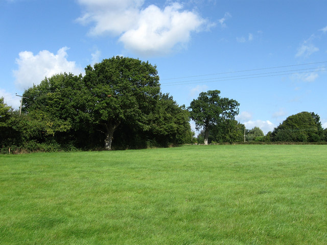
Image: © Simon Carey Taken: 28 Aug 2009
The name of the field according to the 1843 tithe map and formerly part of Frankbarrow, a medieval deer park that was disparked and enclosed in the 16th century. The name is also derived from the shape of the field bounded by the hedgerow on the left, Janes Lane to the top and the footpath to the east.
Images are licensed for reuse under creativecommons.org/licenses/by-sa/2.0
Image Location
Latitude
50.962378
Longitude
-0.107908