Ladymead, World's End
Introduction
The photograph on this page of Ladymead, World's End by Simon Carey as part of the Geograph project.
The Geograph project started in 2005 with the aim of publishing, organising and preserving representative images for every square kilometre of Great Britain, Ireland and the Isle of Man.

There are currently over 7.5m images from over 14,400 individuals and you can help contribute to the project by visiting https://www.geograph.org.uk
Ladymead, World's End
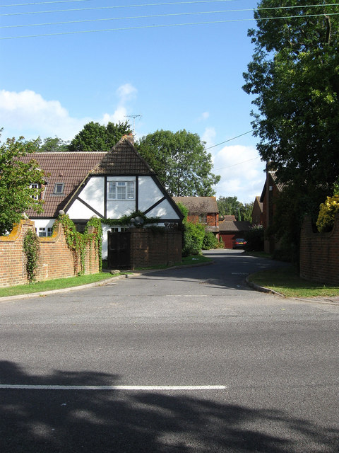
Image: © Simon Carey Taken: 28 Aug 2009
Small private housing estate off Janes Lane opposite World's End Recreation Ground.
Images are licensed for reuse under creativecommons.org/licenses/by-sa/2.0
Image Location
Latitude
50.965846
Longitude
-0.116597