Hope Farm
Introduction
The photograph on this page of Hope Farm by Simon Carey as part of the Geograph project.
The Geograph project started in 2005 with the aim of publishing, organising and preserving representative images for every square kilometre of Great Britain, Ireland and the Isle of Man.

There are currently over 7.5m images from over 14,400 individuals and you can help contribute to the project by visiting https://www.geograph.org.uk
Hope Farm
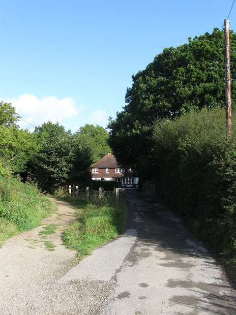
Image: © Simon Carey Taken: 28 Aug 2009
Another farm located on the border of Ditchling Common. Farms would often supplement their small fields by using the common for much needed pasture. This farm would have originated some time in the 15th or 16th centuries when the land, a former deer park called Frankbarrow, to the west of the common was disparked and enclosed. The bridleway to World's End heads off to the left.
Images are licensed for reuse under creativecommons.org/licenses/by-sa/2.0
Image Location
Latitude
50.955612
Longitude
-0.106617