The unique road up to Fyal
Introduction
The photograph on this page of The unique road up to Fyal by Alisdair Mclean as part of the Geograph project.
The Geograph project started in 2005 with the aim of publishing, organising and preserving representative images for every square kilometre of Great Britain, Ireland and the Isle of Man.

There are currently over 7.5m images from over 14,400 individuals and you can help contribute to the project by visiting https://www.geograph.org.uk
The unique road up to Fyal
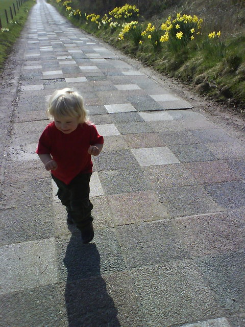
Image: © Alisdair Mclean Taken: 13 Apr 2007
The Perthshire version of the yellow brick road!
Images are licensed for reuse under creativecommons.org/licenses/by-sa/2.0
Image Location
Latitude
56.643003
Longitude
-3.276391