Converted chapel, Fen Street
Introduction
The photograph on this page of Converted chapel, Fen Street by Andrew Hill as part of the Geograph project.
The Geograph project started in 2005 with the aim of publishing, organising and preserving representative images for every square kilometre of Great Britain, Ireland and the Isle of Man.

There are currently over 7.5m images from over 14,400 individuals and you can help contribute to the project by visiting https://www.geograph.org.uk
Converted chapel, Fen Street
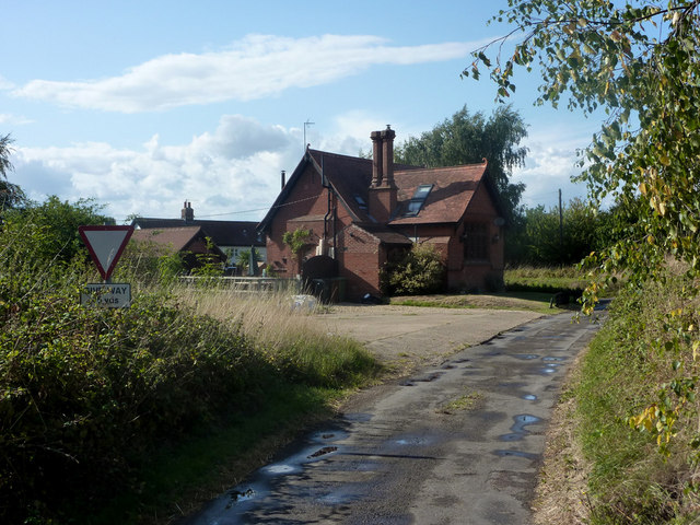
Image: © Andrew Hill Taken: 28 Aug 2009
Looking along Halford Lane past the former chapel towards the junction with the A1066.
Images are licensed for reuse under creativecommons.org/licenses/by-sa/2.0
Image Location
Latitude
52.38701
Longitude
1.028806