Access to woodland, Leyfields Crescent, Warwick
Introduction
The photograph on this page of Access to woodland, Leyfields Crescent, Warwick by Robin Stott as part of the Geograph project.
The Geograph project started in 2005 with the aim of publishing, organising and preserving representative images for every square kilometre of Great Britain, Ireland and the Isle of Man.

There are currently over 7.5m images from over 14,400 individuals and you can help contribute to the project by visiting https://www.geograph.org.uk
Access to woodland, Leyfields Crescent, Warwick
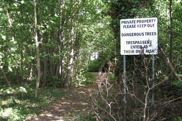
Image: © Robin Stott Taken: 28 Aug 2009
Well-worn paths form a circuit round and criss-cross a belt of degraded woodland on the western boundary of Warwick Castle Park. It appears to be part of Leafield Farm, hence the feeble attempts to prevent informal access. Other residential streets to the north are graced with heavy security fencing to prevent access to the pay-to-enter Castle grounds.
Images are licensed for reuse under creativecommons.org/licenses/by-sa/2.0
Image Location
Latitude
52.270763
Longitude
-1.595485