The Castle Island Road near Downpatrick
Introduction
The photograph on this page of The Castle Island Road near Downpatrick by Albert Bridge as part of the Geograph project.
The Geograph project started in 2005 with the aim of publishing, organising and preserving representative images for every square kilometre of Great Britain, Ireland and the Isle of Man.

There are currently over 7.5m images from over 14,400 individuals and you can help contribute to the project by visiting https://www.geograph.org.uk
The Castle Island Road near Downpatrick
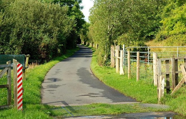
Image: © Albert Bridge Taken: 28 Aug 2009
After skirting the loughshore Image the Castle Island Road heads inland, separated from the Quoile Pondage Image by the line of trees on the left. It narrows, becoming single track with grassy passing places. From here on is a nature reserve.
Images are licensed for reuse under creativecommons.org/licenses/by-sa/2.0
Image Location
Latitude
54.362786
Longitude
-5.667853