Pillbox at the former Dauntsey level crossing
Introduction
The photograph on this page of Pillbox at the former Dauntsey level crossing by Roger Davies as part of the Geograph project.
The Geograph project started in 2005 with the aim of publishing, organising and preserving representative images for every square kilometre of Great Britain, Ireland and the Isle of Man.

There are currently over 7.5m images from over 14,400 individuals and you can help contribute to the project by visiting https://www.geograph.org.uk
Pillbox at the former Dauntsey level crossing
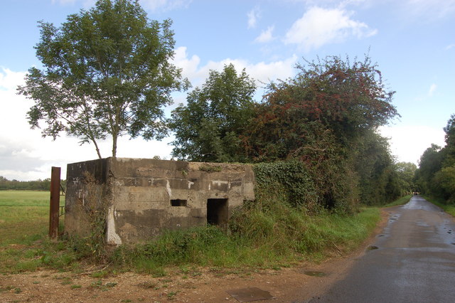
Image: © Roger Davies Taken: 28 Aug 2009
This shellproof type 24 pillbox in 1940 formed part of Stop Line Green. The railway track and level crossing at this point have long since disappeared.
Images are licensed for reuse under creativecommons.org/licenses/by-sa/2.0
Image Location
Latitude
51.541301
Longitude
-2.041623