Grub Tree Field
Introduction
The photograph on this page of Grub Tree Field by Simon Carey as part of the Geograph project.
The Geograph project started in 2005 with the aim of publishing, organising and preserving representative images for every square kilometre of Great Britain, Ireland and the Isle of Man.

There are currently over 7.5m images from over 14,400 individuals and you can help contribute to the project by visiting https://www.geograph.org.uk
Grub Tree Field
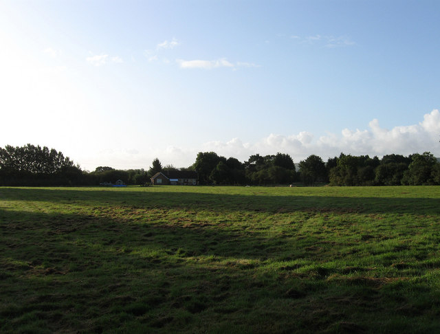
Image: © Simon Carey Taken: 28 Aug 2009
The name of the field according to the 1843 tithe map with its name suggesting that it was hacked out of woodland sometime in the past. The house in the distance is Swansyard which fronts onto Spatham Lane.
Images are licensed for reuse under creativecommons.org/licenses/by-sa/2.0
Image Location
Latitude
50.934924
Longitude
-0.095359