St Katharine's Vicarage Eugenia Road
Introduction
The photograph on this page of St Katharine's Vicarage Eugenia Road by Chris Lordan as part of the Geograph project.
The Geograph project started in 2005 with the aim of publishing, organising and preserving representative images for every square kilometre of Great Britain, Ireland and the Isle of Man.

There are currently over 7.5m images from over 14,400 individuals and you can help contribute to the project by visiting https://www.geograph.org.uk
St Katharine's Vicarage Eugenia Road
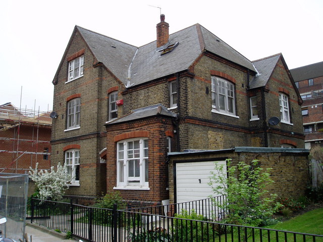
Image: © Chris Lordan Taken: 6 Mar 2008
Built as the same time as the 1905 church that was destroyed in 1940 during WWII. The present church is the third.
Images are licensed for reuse under creativecommons.org/licenses/by-sa/2.0
Image Location
Latitude
51.48968
Longitude
-0.050291