Earl Pumping Station
Introduction
The photograph on this page of Earl Pumping Station by Chris Lordan as part of the Geograph project.
The Geograph project started in 2005 with the aim of publishing, organising and preserving representative images for every square kilometre of Great Britain, Ireland and the Isle of Man.

There are currently over 7.5m images from over 14,400 individuals and you can help contribute to the project by visiting https://www.geograph.org.uk
Earl Pumping Station
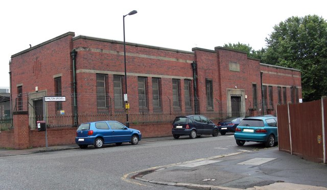
Image: © Chris Lordan Taken: 9 Mar 2009
The pumping station is in Chilton Grove but has been closed for years. It processed the water from Earl Sluice from the Thames.
Images are licensed for reuse under creativecommons.org/licenses/by-sa/2.0
Image Location
Latitude
51.491943
Longitude
-0.040398