Stoke Bardolph Village Hall?
Introduction
The photograph on this page of Stoke Bardolph Village Hall? by Alan Murray-Rust as part of the Geograph project.
The Geograph project started in 2005 with the aim of publishing, organising and preserving representative images for every square kilometre of Great Britain, Ireland and the Isle of Man.

There are currently over 7.5m images from over 14,400 individuals and you can help contribute to the project by visiting https://www.geograph.org.uk
Stoke Bardolph Village Hall?
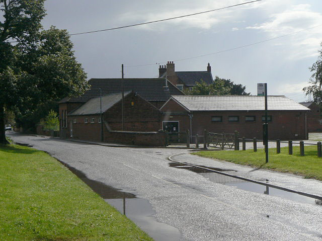
Image: © Alan Murray-Rust Taken: 25 Aug 2009
It's not clear if this is the village hall, as there are no signs, but it is clearly some form of meeting place. The old Manor Farm House lurks in the background.
Images are licensed for reuse under creativecommons.org/licenses/by-sa/2.0
Image Location
Latitude
52.966452
Longitude
-1.041105