Chippenham footpath
Introduction
The photograph on this page of Chippenham footpath by richard noyes as part of the Geograph project.
The Geograph project started in 2005 with the aim of publishing, organising and preserving representative images for every square kilometre of Great Britain, Ireland and the Isle of Man.

There are currently over 7.5m images from over 14,400 individuals and you can help contribute to the project by visiting https://www.geograph.org.uk
Chippenham footpath
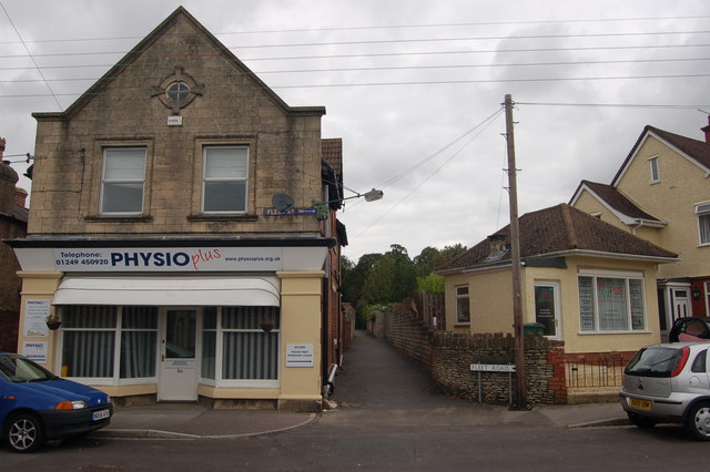
Image: © richard noyes Taken: 22 Aug 2009
The bottom end of a footpath alongside John Cole's Park. The two buildings used to be a general store & a Barbers.
Images are licensed for reuse under creativecommons.org/licenses/by-sa/2.0
Image Location
Latitude
51.465176
Longitude
-2.122886