Farm road
Introduction
The photograph on this page of Farm road by Alan Murray-Rust as part of the Geograph project.
The Geograph project started in 2005 with the aim of publishing, organising and preserving representative images for every square kilometre of Great Britain, Ireland and the Isle of Man.

There are currently over 7.5m images from over 14,400 individuals and you can help contribute to the project by visiting https://www.geograph.org.uk
Farm road
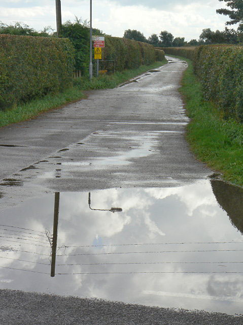
Image: © Alan Murray-Rust Taken: 25 Aug 2009
One of the legacies of the former City Council regime at the Stoke Bardolph sewage farms is the network of hard surfaced tracks for field access.
Images are licensed for reuse under creativecommons.org/licenses/by-sa/2.0
Image Location
Latitude
52.964682
Longitude
-1.044568