Woodland north of Cuxton
Introduction
The photograph on this page of Woodland north of Cuxton by Stephen McKay as part of the Geograph project.
The Geograph project started in 2005 with the aim of publishing, organising and preserving representative images for every square kilometre of Great Britain, Ireland and the Isle of Man.

There are currently over 7.5m images from over 14,400 individuals and you can help contribute to the project by visiting https://www.geograph.org.uk
Woodland north of Cuxton
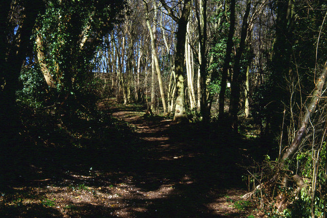
Image: © Stephen McKay Taken: 28 Mar 2006
This footpath makes it way up from the A228 near Cuxton village, across the London - Chatham railway, and through this strip of woodland before joining the North Downs Way.
Images are licensed for reuse under creativecommons.org/licenses/by-sa/2.0
Image Location
Latitude
51.378038
Longitude
0.458552