New Plantation
Introduction
The photograph on this page of New Plantation by Alan Murray-Rust as part of the Geograph project.
The Geograph project started in 2005 with the aim of publishing, organising and preserving representative images for every square kilometre of Great Britain, Ireland and the Isle of Man.

There are currently over 7.5m images from over 14,400 individuals and you can help contribute to the project by visiting https://www.geograph.org.uk
New Plantation
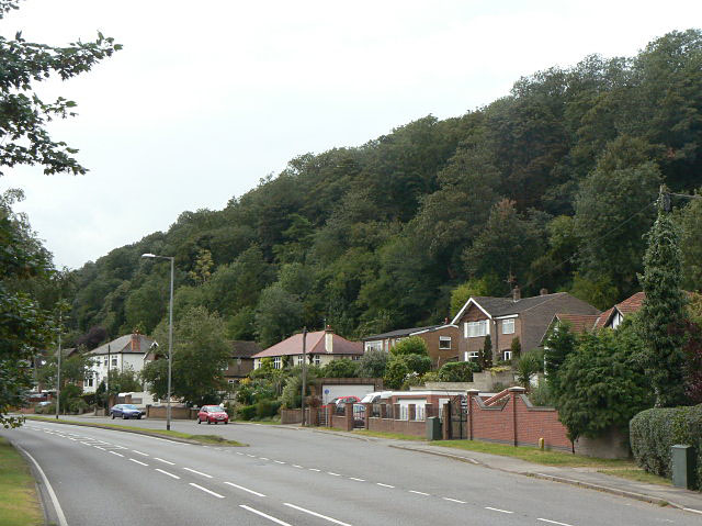
Image: © Alan Murray-Rust Taken: 25 Aug 2009
An area of what is now mature broadleaf woodland on the steep hillside above the A612. The steep hillside is the result of valley cutting by the River Trent, although this is no longer close at hand.
Images are licensed for reuse under creativecommons.org/licenses/by-sa/2.0
Image Location
Latitude
52.981306
Longitude
-1.055075