Roman Reach,Caerleon
Introduction
The photograph on this page of Roman Reach,Caerleon by Jaggery as part of the Geograph project.
The Geograph project started in 2005 with the aim of publishing, organising and preserving representative images for every square kilometre of Great Britain, Ireland and the Isle of Man.

There are currently over 7.5m images from over 14,400 individuals and you can help contribute to the project by visiting https://www.geograph.org.uk
Roman Reach,Caerleon
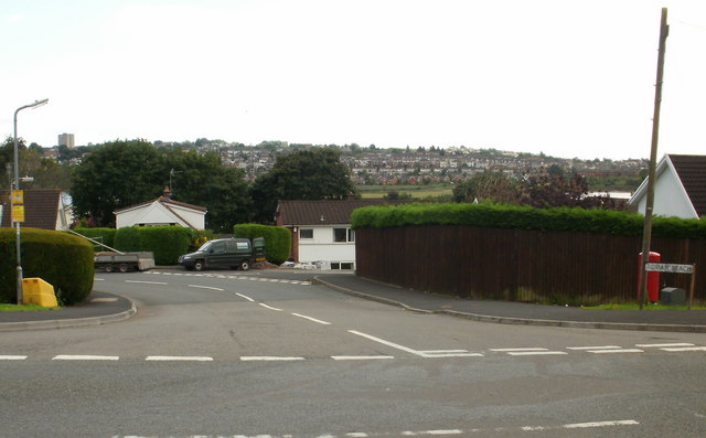
Image: © Jaggery Taken: 27 Aug 2009
Roman Reach from its eastern junction with Pillmawr Road. It forms a loop before rejoining Pillmawr Road. http://www.geograph.org.uk/photo/1461382 for a close up view of the yellow sign on the left
Images are licensed for reuse under creativecommons.org/licenses/by-sa/2.0
Image Location
Latitude
51.612865
Longitude
-2.976232