Between Hazlemere and Totteridge
Introduction
The photograph on this page of Between Hazlemere and Totteridge by Andrew Smith as part of the Geograph project.
The Geograph project started in 2005 with the aim of publishing, organising and preserving representative images for every square kilometre of Great Britain, Ireland and the Isle of Man.

There are currently over 7.5m images from over 14,400 individuals and you can help contribute to the project by visiting https://www.geograph.org.uk
Between Hazlemere and Totteridge
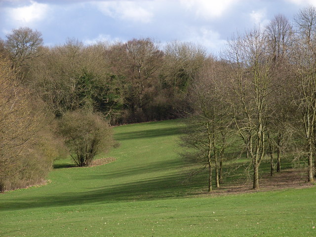
Image: © Andrew Smith Taken: 2 Apr 2006
This belt of common and woods separates Hazlemere from the Totteridge and Terriers area of Wycombe.
Images are licensed for reuse under creativecommons.org/licenses/by-sa/2.0
Image Location
Latitude
51.644208
Longitude
-0.728169