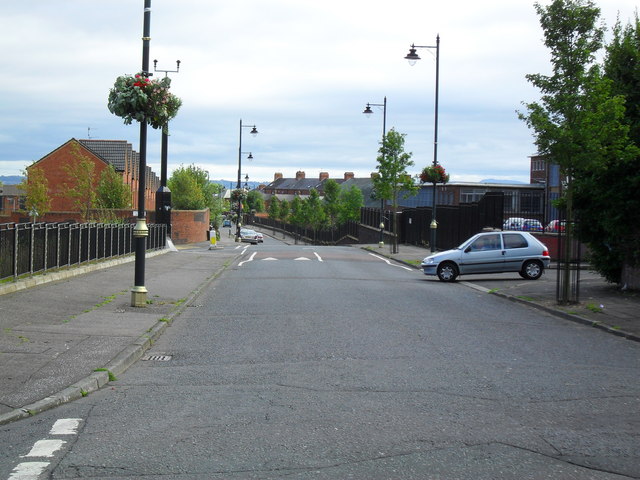
"The Divide", Ardoyne Road, Belfast
Introduction
The photograph on this page of "The Divide", Ardoyne Road, Belfast by Dean Molyneaux as part of the Geograph project.
The Geograph project started in 2005 with the aim of publishing, organising and preserving representative images for every square kilometre of Great Britain, Ireland and the Isle of Man.
There are currently over 7.5m images from over 14,400 individuals and you can help contribute to the project by visiting https://www.geograph.org.uk

Image: © Dean Molyneaux Taken: 26 Aug 2009
This is one of the most sudden and certainly one of the most contentious religious divides in Northern Ireland. In the 1960s the whole Ardoyne was a mixed area which was viewed as one step above the slums and terraces of the Shankill. Although Protestants and Roman Catholics lived side by side as neighbours - everyone knew who was on whose side. When the conflict fired up in 1969 - suspicion arose and Protestants moved towards the northern end of the Ardoyne, towards Ballysillan which was established as Protestant. Roman Catholics, on the contrary, moved towards the Ardoyne roundabout and the Holy Cross Chapel. This shift eventually caused an imaginary line between Alliance Avenue and Glenbryn Park. The continual violence here prompted the construction of a Peace Wall. Thankfully there has been a marked decrease in sectarian violence here since the 2001 Holy Cross dispute. This is taken from the Protestant 'Upper Ardoyne' looking towards the Roman Catholic area - which begins roughly where the Peugeot 106 is emerging.

