Glenbryn Park, Belfast
Introduction
The photograph on this page of Glenbryn Park, Belfast by Dean Molyneaux as part of the Geograph project.
The Geograph project started in 2005 with the aim of publishing, organising and preserving representative images for every square kilometre of Great Britain, Ireland and the Isle of Man.

There are currently over 7.5m images from over 14,400 individuals and you can help contribute to the project by visiting https://www.geograph.org.uk
Glenbryn Park, Belfast
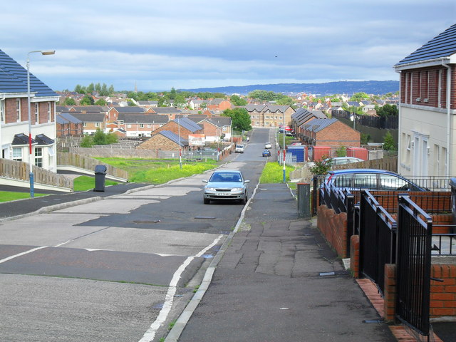
Image: © Dean Molyneaux Taken: 26 Aug 2009
This is on the other side of the 'Peace Wall' visible to the right - which divides Alliance Avenue (Image) and Glenbryn Park (Roman Catholic and Protestant respectively). Since this once mixed area became a Protestant ghetto - it has become known as the Upper Ardoyne, differentiating it from the Roman Catholic Ardoyne.
Images are licensed for reuse under creativecommons.org/licenses/by-sa/2.0
Image Location
Latitude
54.618319
Longitude
-5.965546