Track over Malvern Link Common
Introduction
The photograph on this page of Track over Malvern Link Common by Bob Embleton as part of the Geograph project.
The Geograph project started in 2005 with the aim of publishing, organising and preserving representative images for every square kilometre of Great Britain, Ireland and the Isle of Man.

There are currently over 7.5m images from over 14,400 individuals and you can help contribute to the project by visiting https://www.geograph.org.uk
Track over Malvern Link Common
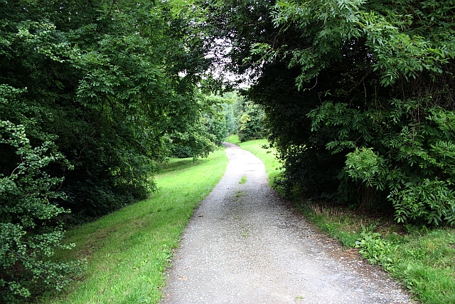
Image: © Bob Embleton Taken: 3 Aug 2009
An old route way along the south-eastern side of the common. Now a bridleway and giving vehicle access to a few houses.
Images are licensed for reuse under creativecommons.org/licenses/by-sa/2.0
Image Location
Latitude
52.123227
Longitude
-2.316618