Brynglas Avenue site of demolished prefabs, Newport
Introduction
The photograph on this page of Brynglas Avenue site of demolished prefabs, Newport by Jaggery as part of the Geograph project.
The Geograph project started in 2005 with the aim of publishing, organising and preserving representative images for every square kilometre of Great Britain, Ireland and the Isle of Man.

There are currently over 7.5m images from over 14,400 individuals and you can help contribute to the project by visiting https://www.geograph.org.uk
Brynglas Avenue site of demolished prefabs, Newport
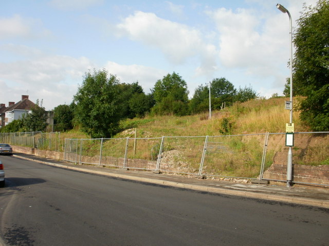
Image: © Jaggery Taken: 13 Aug 2009
Fencing segregates the area formerly containing prefabs. A prefab http://www.geograph.org.uk/photo/1981336 was a prefabricated single-storey house. At the time of this photo (August 2009), there was no sign of redevelopment work. Near the top of Brynglas Avenue, close to a bend to the west to join Brynglas Road.
Images are licensed for reuse under creativecommons.org/licenses/by-sa/2.0
Image Location
Latitude
51.603705
Longitude
-2.996251