John White Memorial Congregational Church
Introduction
The photograph on this page of John White Memorial Congregational Church by Dean Molyneaux as part of the Geograph project.
The Geograph project started in 2005 with the aim of publishing, organising and preserving representative images for every square kilometre of Great Britain, Ireland and the Isle of Man.

There are currently over 7.5m images from over 14,400 individuals and you can help contribute to the project by visiting https://www.geograph.org.uk
John White Memorial Congregational Church
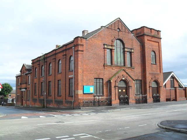
Image: © Dean Molyneaux Taken: 26 Aug 2009
At the corner of Matchet Street and Tennent Street in the Shankill area of Belfast.
Images are licensed for reuse under creativecommons.org/licenses/by-sa/2.0
Image Location
Latitude
54.60672
Longitude
-5.954361