Acton Street, Belfast
Introduction
The photograph on this page of Acton Street, Belfast by Dean Molyneaux as part of the Geograph project.
The Geograph project started in 2005 with the aim of publishing, organising and preserving representative images for every square kilometre of Great Britain, Ireland and the Isle of Man.

There are currently over 7.5m images from over 14,400 individuals and you can help contribute to the project by visiting https://www.geograph.org.uk
Acton Street, Belfast
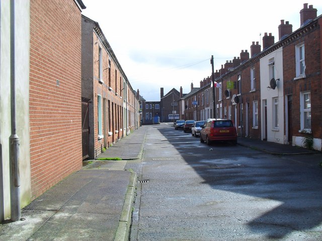
Image: © Dean Molyneaux Taken: 26 Aug 2009
This is what the whole Shankill area used to look like - row upon row of 'two-up-two-down' houses. This cluster off Tennent Street are some of the last remaining - some are lying derelict. Glenwood Primary School is at the end of the street.
Images are licensed for reuse under creativecommons.org/licenses/by-sa/2.0
Image Location
Latitude
54.606112
Longitude
-5.95563