View of the Campsie Fells
Introduction
The photograph on this page of View of the Campsie Fells by Chris Heaton as part of the Geograph project.
The Geograph project started in 2005 with the aim of publishing, organising and preserving representative images for every square kilometre of Great Britain, Ireland and the Isle of Man.

There are currently over 7.5m images from over 14,400 individuals and you can help contribute to the project by visiting https://www.geograph.org.uk
View of the Campsie Fells
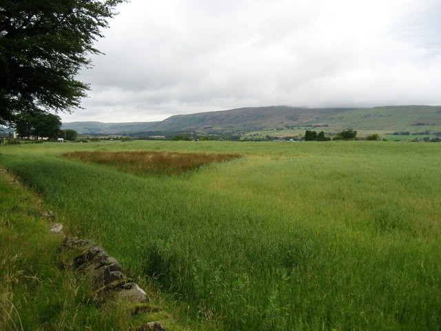
Image: © Chris Heaton Taken: 11 Aug 2009
A fine viewpoint of the Campsies from just above the towpath that follows the Forth and Clyde Canal at Harestanes, Kirkintilloch.
Images are licensed for reuse under creativecommons.org/licenses/by-sa/2.0
Image Location


Leaflet Map data © OpenStreetMap
Latitude
55.949182
Longitude
-4.117318