Shack next to the old Portishead railway line
Introduction
The photograph on this page of Shack next to the old Portishead railway line by Jonathan Billinger as part of the Geograph project.
The Geograph project started in 2005 with the aim of publishing, organising and preserving representative images for every square kilometre of Great Britain, Ireland and the Isle of Man.

There are currently over 7.5m images from over 14,400 individuals and you can help contribute to the project by visiting https://www.geograph.org.uk
Shack next to the old Portishead railway line
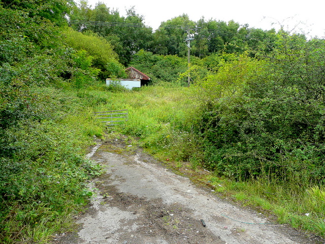
Image: © Jonathan Billinger Taken: 16 Jul 2009
The line is closed; this is a piece of waste ground north of the A369 near the M5 junction19.
Images are licensed for reuse under creativecommons.org/licenses/by-sa/2.0
Image Location
Latitude
51.479428
Longitude
-2.714323