Moorland south of the B8060
Introduction
The photograph on this page of Moorland south of the B8060 by Gordon Hatton as part of the Geograph project.
The Geograph project started in 2005 with the aim of publishing, organising and preserving representative images for every square kilometre of Great Britain, Ireland and the Isle of Man.

There are currently over 7.5m images from over 14,400 individuals and you can help contribute to the project by visiting https://www.geograph.org.uk
Moorland south of the B8060
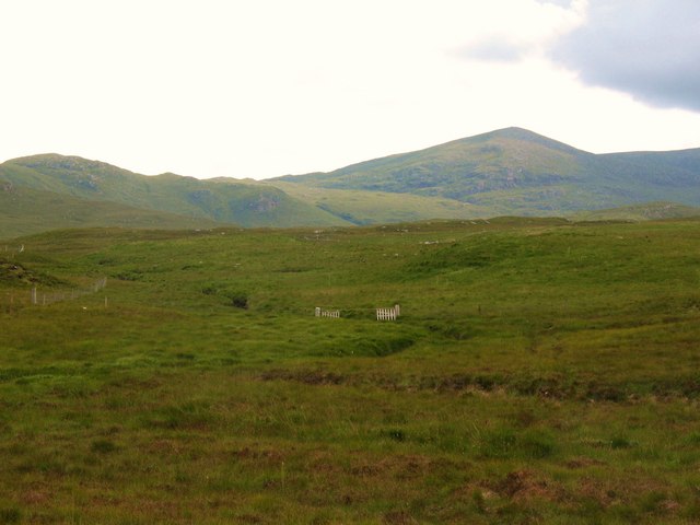
Image: © Gordon Hatton Taken: 22 Jul 2009
An area of gently undulating peaty moorland to the south of the B8060. The hills in the distance are beyond the upper reaches of Loch Seaforth.
Images are licensed for reuse under creativecommons.org/licenses/by-sa/2.0
Image Location
Latitude
58.075334
Longitude
-6.606261