Crumlin Road at the Ardoyne
Introduction
The photograph on this page of Crumlin Road at the Ardoyne by Dean Molyneaux as part of the Geograph project.
The Geograph project started in 2005 with the aim of publishing, organising and preserving representative images for every square kilometre of Great Britain, Ireland and the Isle of Man.

There are currently over 7.5m images from over 14,400 individuals and you can help contribute to the project by visiting https://www.geograph.org.uk
Crumlin Road at the Ardoyne
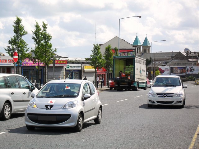
Image: © Dean Molyneaux Taken: 25 Aug 2009
The Ardoyne is a small Roman Catholic enclave surrounded by two larger Protestant areas (Ballysillan and Shankill/Woodvale) - the violence that has been seen here since the early days of the conflict has led to it being regarded as one of the best known 'interfaces' in Belfast.
Images are licensed for reuse under creativecommons.org/licenses/by-sa/2.0
Image Location
Latitude
54.614638
Longitude
-5.965729