Arcade at St Dogmael's
Introduction
The photograph on this page of Arcade at St Dogmael's by Natasha Ceridwen de Chroustchoff as part of the Geograph project.
The Geograph project started in 2005 with the aim of publishing, organising and preserving representative images for every square kilometre of Great Britain, Ireland and the Isle of Man.

There are currently over 7.5m images from over 14,400 individuals and you can help contribute to the project by visiting https://www.geograph.org.uk
Arcade at St Dogmael's
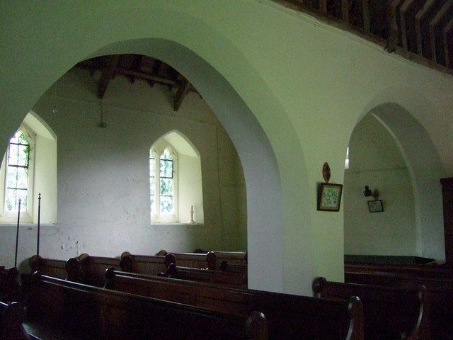
Image: © Natasha Ceridwen de Chroustchoff Taken: 12 Jul 2009
Looking from the north nave, the low three-bay arcade separates it from the south nave.
Images are licensed for reuse under creativecommons.org/licenses/by-sa/2.0
Image Location


Leaflet Map data © OpenStreetMap
Latitude
51.9209
Longitude
-4.717959