Footpath to Brookies Lodge
Introduction
The photograph on this page of Footpath to Brookies Lodge by David Anstiss as part of the Geograph project.
The Geograph project started in 2005 with the aim of publishing, organising and preserving representative images for every square kilometre of Great Britain, Ireland and the Isle of Man.

There are currently over 7.5m images from over 14,400 individuals and you can help contribute to the project by visiting https://www.geograph.org.uk
Footpath to Brookies Lodge
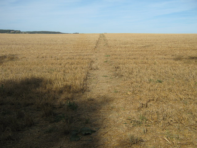
Image: © David Anstiss Taken: 23 Aug 2009
This path leads from Ball Lane, Ashford, via several fields to the A251 Faversham Road, near the Lodge.
Images are licensed for reuse under creativecommons.org/licenses/by-sa/2.0
Image Location


Leaflet Map data © OpenStreetMap
Latitude
51.178778
Longitude
0.889514