Lee Moor
Introduction
The photograph on this page of Lee Moor by Derek Harper as part of the Geograph project.
The Geograph project started in 2005 with the aim of publishing, organising and preserving representative images for every square kilometre of Great Britain, Ireland and the Isle of Man.

There are currently over 7.5m images from over 14,400 individuals and you can help contribute to the project by visiting https://www.geograph.org.uk
Lee Moor
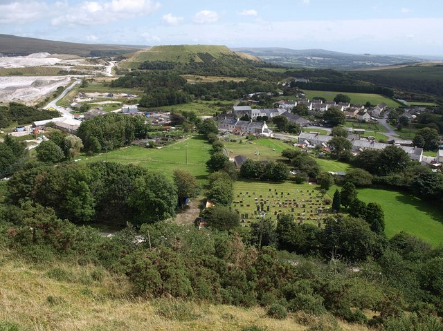
Image: © Derek Harper Taken: 20 Aug 2009
The village, with the adjacent clay works to the left (in Image). The flat-tipped tip on the far side in the centre is shown in Image and Image Below right is a burial ground. Behind Blackalder Terrace in the centre is Image
Images are licensed for reuse under creativecommons.org/licenses/by-sa/2.0
Image Location
Latitude
50.439529
Longitude
-4.012314