St. Mary: the parish church of Bocking
Introduction
The photograph on this page of St. Mary: the parish church of Bocking by Robert Edwards as part of the Geograph project.
The Geograph project started in 2005 with the aim of publishing, organising and preserving representative images for every square kilometre of Great Britain, Ireland and the Isle of Man.

There are currently over 7.5m images from over 14,400 individuals and you can help contribute to the project by visiting https://www.geograph.org.uk
St. Mary: the parish church of Bocking
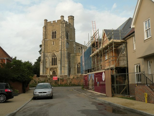
Image: © Robert Edwards Taken: 14 Aug 2009
This church is 15th century apart from the chancel that is 14th century. It's quite a large church and stands on slightly higher ground than the rest of the village. The picture shows some of the many new houses being built, just west of the church.
Images are licensed for reuse under creativecommons.org/licenses/by-sa/2.0
Image Location
Latitude
51.90213
Longitude
0.552783