Footpath from St Katherines Way to Northchurch House
Introduction
The photograph on this page of Footpath from St Katherines Way to Northchurch House by David Sands as part of the Geograph project.
The Geograph project started in 2005 with the aim of publishing, organising and preserving representative images for every square kilometre of Great Britain, Ireland and the Isle of Man.

There are currently over 7.5m images from over 14,400 individuals and you can help contribute to the project by visiting https://www.geograph.org.uk
Footpath from St Katherines Way to Northchurch House
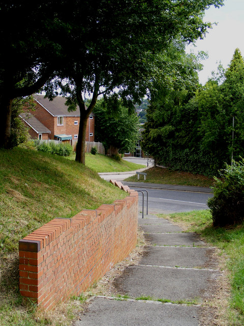
Image: © David Sands Taken: 16 Jul 2009
Looking back to the start of the path near the junction of St Katherines Way and Haynes Mead.
Images are licensed for reuse under creativecommons.org/licenses/by-sa/2.0
Image Location
Latitude
51.770014
Longitude
-0.579998