Bearwood, Weldon Avenue
Introduction
The photograph on this page of Bearwood, Weldon Avenue by Mike Faherty as part of the Geograph project.
The Geograph project started in 2005 with the aim of publishing, organising and preserving representative images for every square kilometre of Great Britain, Ireland and the Isle of Man.

There are currently over 7.5m images from over 14,400 individuals and you can help contribute to the project by visiting https://www.geograph.org.uk
Bearwood, Weldon Avenue
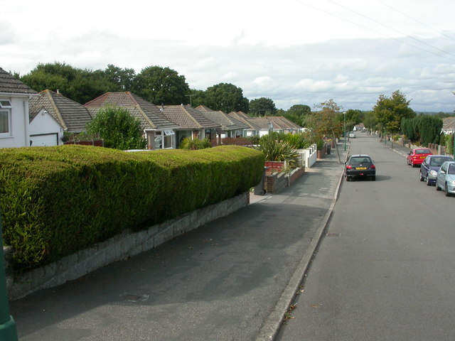
Image: © Mike Faherty Taken: 24 Aug 2009
The strip of land between the Poole boundary, Magna and Ringwood Roads has 1930s bungalow-lined roads, such as Weldon Avenue.
Images are licensed for reuse under creativecommons.org/licenses/by-sa/2.0
Image Location
Latitude
50.765367
Longitude
-1.927633