Bearwood, Magna Road
Introduction
The photograph on this page of Bearwood, Magna Road by Mike Faherty as part of the Geograph project.
The Geograph project started in 2005 with the aim of publishing, organising and preserving representative images for every square kilometre of Great Britain, Ireland and the Isle of Man.

There are currently over 7.5m images from over 14,400 individuals and you can help contribute to the project by visiting https://www.geograph.org.uk
Bearwood, Magna Road
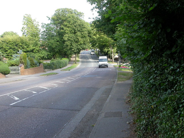
Image: © Mike Faherty Taken: 24 Aug 2009
Magna Road, A341 between Ensbury and Merley; at the Poole/Bournemouth boundary. "Magna" refers to the settlement of Canford Magna, which is on the way.
Images are licensed for reuse under creativecommons.org/licenses/by-sa/2.0
Image Location
Latitude
50.769951
Longitude
-1.925499