St John's Well Lane, Berkhamsted
Introduction
The photograph on this page of St John's Well Lane, Berkhamsted by David Sands as part of the Geograph project.
The Geograph project started in 2005 with the aim of publishing, organising and preserving representative images for every square kilometre of Great Britain, Ireland and the Isle of Man.

There are currently over 7.5m images from over 14,400 individuals and you can help contribute to the project by visiting https://www.geograph.org.uk
St John's Well Lane, Berkhamsted
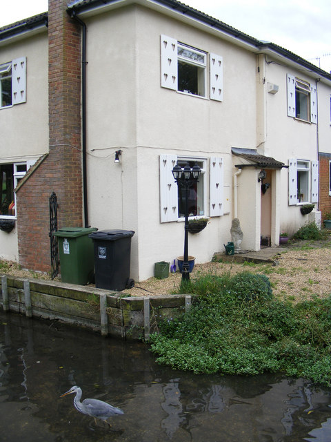
Image: © David Sands Taken: 8 Aug 2009
The picture shows a cottage in St John's Well Lane that stands next to the River Bulbourne, complete with resident heron. St John's Well was the site of the first settlement at Berkhamsted in the eleventh century, where a monastery was established making use of the spring water. Later the monastery founded a hospital that treated injured warriors returning from the Crusades.
Images are licensed for reuse under creativecommons.org/licenses/by-sa/2.0
Image Location
Latitude
51.763232
Longitude
-0.569487