Mudeford, jetty
Introduction
The photograph on this page of Mudeford, jetty by Mike Faherty as part of the Geograph project.
The Geograph project started in 2005 with the aim of publishing, organising and preserving representative images for every square kilometre of Great Britain, Ireland and the Isle of Man.

There are currently over 7.5m images from over 14,400 individuals and you can help contribute to the project by visiting https://www.geograph.org.uk
Mudeford, jetty
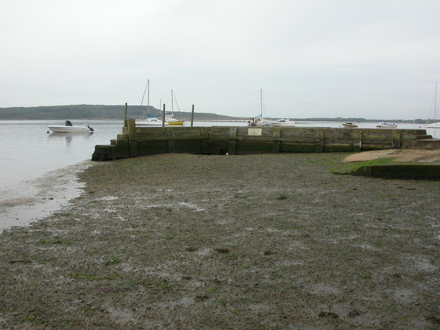
Image: © Mike Faherty Taken: 24 Aug 2009
A substantial private jetty, made out of concrete and wood; Hengistbury Head in the distance.
Images are licensed for reuse under creativecommons.org/licenses/by-sa/2.0
Image Location
Latitude
50.726278
Longitude
-1.752157