Randal Wood Path
Introduction
The photograph on this page of Randal Wood Path by Glyn Baker as part of the Geograph project.
The Geograph project started in 2005 with the aim of publishing, organising and preserving representative images for every square kilometre of Great Britain, Ireland and the Isle of Man.

There are currently over 7.5m images from over 14,400 individuals and you can help contribute to the project by visiting https://www.geograph.org.uk
Randal Wood Path
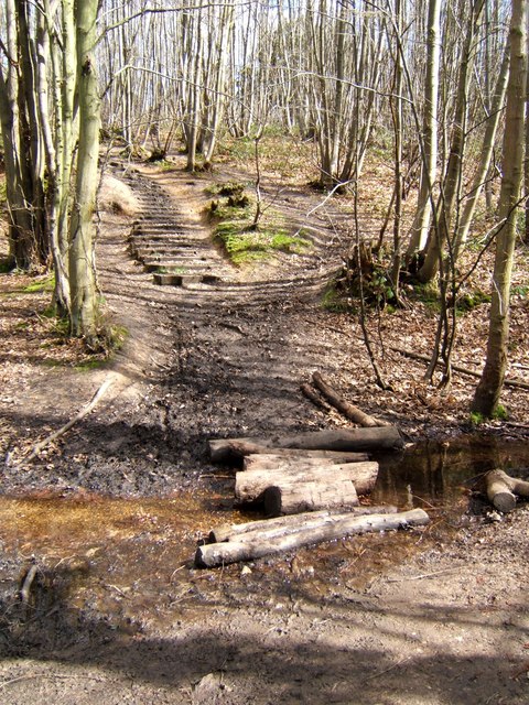
Image: © Glyn Baker Taken: 2 Apr 2006
This footpath in Randal Wood passes through Shorne Country park, the steps were rather treacherous with slippy mud.
Images are licensed for reuse under creativecommons.org/licenses/by-sa/2.0
Image Location
Latitude
51.41016
Longitude
0.423317